
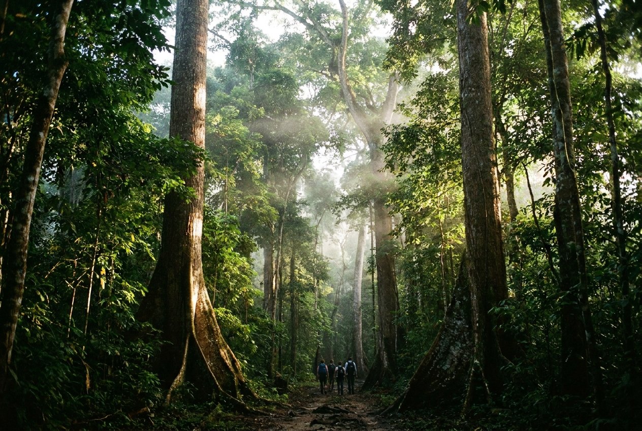
Tikal was one of the greatest cities of the ancient Maya, a political and religious centre that flourished for centuries before its decline around the 10th century. Its ruins lie in the tropical forest of the Petén, in the far north of Guatemala, and they cover a vast area: temples, palaces, plazas and causeways, many still under the trees. Tikal National Park was created in 1955 and was listed as a UNESCO World Heritage Site in 1979, both for the ruins and for the forest around them.
Flores as a base
Most visitors stay in Flores, a small town on an island in Lake Petén Itzá, connected to the shore by a causeway. Its narrow streets of coloured houses can be walked in half an hour, and the lake shore is a fine place to watch the sunset. Flores has the nearest airport and bus connections to the rest of the country. The drive to Tikal takes about an hour to an hour and a half, by shuttle or car.
The earlier you arrive, the better. The park opens early, and the first hours are cooler, quieter and the best time for wildlife. Some visitors pay extra for special sunrise or sunset access.
The Great Plaza
The heart of the site is the Great Plaza, a wide open space framed by two steep temples facing each other. Temple I, sometimes called the Temple of the Great Jaguar, is a tall, narrow pyramid with a roof comb on top, built as the tomb of a powerful ruler in the 8th century. Opposite stands Temple II. Climbing these two is not allowed, but you can sit on the plaza steps and take in the scale of the place. On the north side, the North Acropolis is a dense cluster of temples built over each other across many centuries; on the south, the Central Acropolis is a maze of palace rooms and courtyards.
A NOTE THAT FITS THE SAME TRIPAntigua Guatemala on footTemple IV and the view
A long walk west through the forest leads to Temple IV, the tallest structure at Tikal, about 65 metres high. A wooden staircase lets visitors climb to a platform near the top. From there, the roof combs of the Great Plaza temples and others rise above an unbroken green canopy that stretches to the horizon. It is one of the great views in the Americas, and it feels at its best in the early morning mist or the late afternoon light.
Other parts of the site are worth a detour: the Mundo Perdido, or Lost World, a large complex with a great pyramid that can be climbed, and the twin-pyramid complexes built to mark the passing of time periods. Paths are long, and a full visit means a lot of walking.
Wildlife, heat and water
The forest around Tikal is full of life. Howler monkeys roar from the treetops in the early morning, spider monkeys swing overhead, coatis cross the paths in groups, and toucans, parrots and ocellated turkeys are often seen. Binoculars make a real difference.
- It is hot and humid for most of the year. Carry plenty of water and something to eat; options inside the park are limited.
- Wear shoes with grip: roots, uneven stone and steep steps are everywhere.
- Use insect repellent, especially in the rainy season.
Reading the site
Much of what you see at Tikal was built over earlier buildings, and many structures still lie under the forest as mounds covered in trees. Small signs mark the main groups, and a site map, sold or displayed at the entrance, helps you plan a loop. A local guide can explain the rulers, the wars with rival cities and the inscriptions on the carved stone monuments, called stelae, that stand in front of many temples. Without a guide, a good plan is a loop from the entrance to the Great Plaza, then west to Temple IV, back through the Mundo Perdido and out.
From Flores, routes lead east to the Belize coast or south back to Antigua. Allow a full day for Tikal itself.