
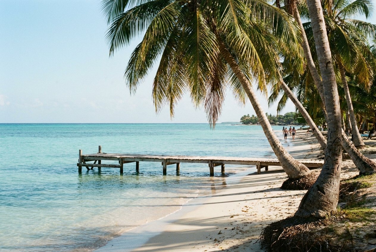
Placencia sits at the southern tip of a long, narrow peninsula in the Stann Creek District of southern Belize. The peninsula is roughly 25 kilometres long and in places only a few hundred metres wide, with the Caribbean Sea on the east side and a broad lagoon on the west. A single road runs down it, past the Garifuna village of Seine Bight and the beach settlements of Maya Beach, before ending at Placencia village.
The village itself is small, sandy and easy-going. Most people come to rest on the beach, eat fresh seafood and use it as a base for trips out to the cayes and the reef, part of the long Belize Barrier Reef.
The sidewalk and the village
The spine of the village is not its road but its sidewalk, a narrow concrete footpath that runs parallel to the beach for about a kilometre through the middle of the village, between wooden houses, small gardens and palm trees. It has long been described as one of the narrowest main streets in the world. Walking its length, from the south end near the harbour to the north end, is the best introduction to Placencia, and you will do it many times over a stay.
On the lagoon side, things are quieter. Fishing boats tie up at small docks, pelicans perch on posts, and manatees are sometimes seen in the calm water. Sunset over the lagoon, with the Maya Mountains on the horizon to the west, is one of the pleasures of staying here.
A NOTE THAT FITS THE SAME TRIPHopkins, a Garifuna village on the Belize coastOut to the cayes
The reef lies some distance offshore, so snorkelling and diving here mean a boat trip. The best-known destination is Laughing Bird Caye National Park, a small island and surrounding marine area that is part of the Belize Barrier Reef Reserve System, a UNESCO World Heritage Site. The caye is named after the laughing gulls that once nested there. Snorkellers see coral, rays, turtles and reef fish in clear, shallow water around it.
Many other small cayes lie within reach for snorkelling, fishing and day trips. Choose licensed operators, follow their instructions on where to stand and swim, and never touch or stand on coral. Fees for marine parks are usually included in trip prices, but ask.
Whale sharks at Gladden Spit
Every spring, whale sharks gather at Gladden Spit, a reef promontory off the coast, to feed on the spawn of large schools of snapper. They come in greatest numbers around the full moons, mostly from about March to June. Seeing the largest fish in the sea glide past in open blue water is extraordinary, but the trips are in deep water and the sightings are never guaranteed. The area is a protected marine reserve, and only licensed boats and guides may take visitors there under strict rules.
Making it to Placencia
By road, Placencia is reached from the Southern Highway, turning off south of Dangriga onto the peninsula road. Buses serve the area, though connections can be slow. Small planes also fly to a short airstrip just north of the village from Belize City. A boat across the lagoon links Placencia with the mainland town of Independence on the highway, which can save time if you are travelling south towards Guatemala or Honduras.
The dry season, from about February to May, brings the most reliable weather. The wetter months, roughly June to November, bring heavier rain, and the Atlantic hurricane season peaks in August to October. Sandflies can be a nuisance on the beach at dawn and dusk; repellent and long sleeves help. Cash machines exist in the village but can run dry at busy times, so carry some Belize dollars; US dollars are widely accepted at a fixed rate of two to one.
From Placencia, the Garifuna village of Hopkins is less than an hour north by road. Inland, the forests of the Petén and the Maya city of Tikal are a long day's travel west across the border into Guatemala.